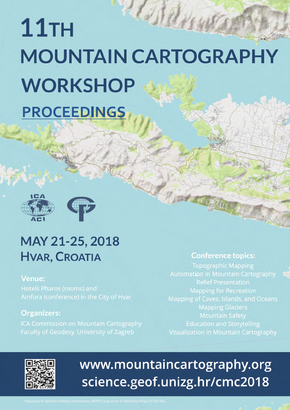
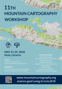
The 34 presentations found in this publication showcase the diversity of mountain cartography—from the summit of Mount Everest to the bottom of the oceans—and with many places in between. Topics include automation, recreation, caves, volcanoes, islands, relief presentation, glaciers, mountain safety, education, and visualization. Given that cartography is a graphical field, illustrations are abundant throughout. Twelve presentations are reviewed papers and ten are extended abstracts. The remaining twelve, which were published as reviewed papers elsewhere in scientific journals, are included in this volume only as short abstracts. We strongly believe that the articles offered in these pages will spur readers to further conduct research and professional activities in the field of mountain cartography.
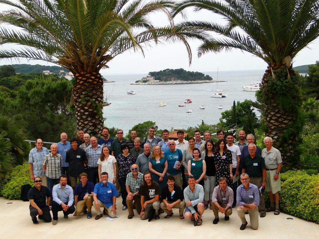
Participants of the 11th Mountain Cartography Workshop
Final Workshop Program and Presentations Guidelines
Final program (also available in PDF) and abstracts of the 11th Mountain Cartography workshop are published online.
There are no special preferences or technical limitations for presentations and its format. Wide screen presentations and PPT, PDF, Prezi or ODT formats are preferred, as well as videos, live web or software demonstrations. If you want to present from your Apple Mac make sure that it can connect to HDMI or VGA connector. Make sure that you upload presentations before session start.
Detailed info on optional activities on Friday, May 25
On Friday, May 25 there are activities supported by organizing team. Please read details. If you didn’t select any of it during registration, or want to change, you can do it on site until Tuesday, lunch time.
Detailed info on boat excursion around Pakleni Islands, May 24, 2018
The excursion includes sailing around the labyrinth of Pakleni islands with stops at three venues, Mline bay, Palmižana bay and St. Klement, with an opportunity for a swim in the sea as turquoise as paradise itself. Read all details here.
Detailed info on hike to Sveti Nikola
The hike to Sveti Nikola starts in the village of Sveta Nedjelja. Mini buses will transfer us from the hotel. It is moderately difficult hike with climb and descent of more than 500 m (total length 10 km, total time of walk 4.5 hours). Read all details here.
Detailed info on walk to Hvar Observatory
Leisurely walk with climb and descend of 200 m (total length 6 km, total time of walk 2 hours). If you find it too difficult, we can take some of you to Hvar Observatory and back by car. Please note us on registration desk if you prefer transfer by car. Read all details here.
Updated ferry/catamaran lines to and from Hvar in 2018
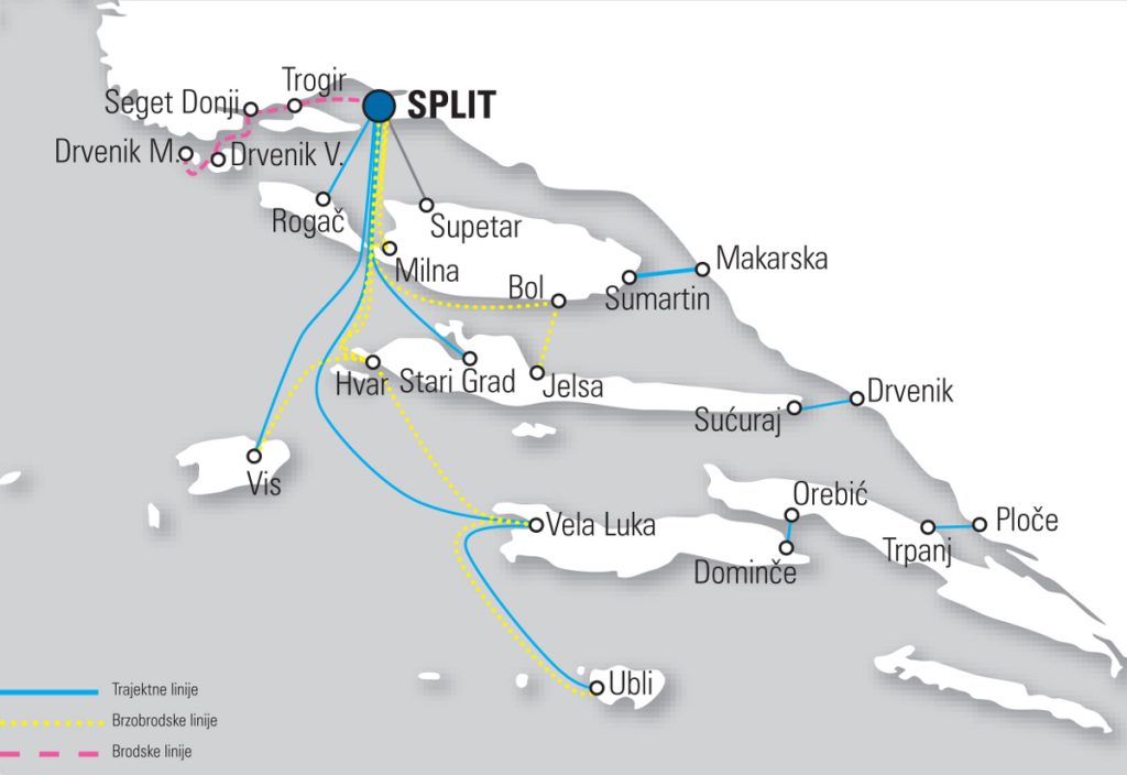
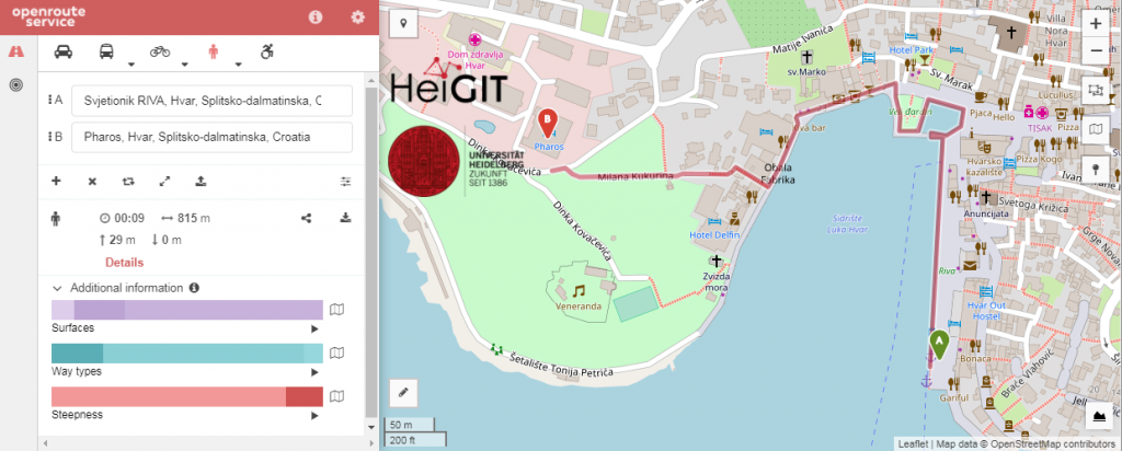
For planning your trip to and from the island of Hvar ferry (~2 h from/to Split) and catamaran (~1 h from/to Split) lines operated by Jadrolinija or Kapetan Luka are available. The most convenient connection with Split is the catamaran to Hvar. The catamaran is for passengers only (no cars) and brings you directly to the city of Hvar from where you can nicely walk to the conference hotel. Take a look at map of the walk.
If you are coming by car you can either take the ferry from Split to Stari Grad (~2 h) or from Drvenik to Sućuraj (~30 min).
Please visit Jadrolinija or Kapetan Luka sites for most updated schedules.
Hvar or Venice (not an April Fools’ Day joke)
Hvar is full of suprises this year. This is how Stari Grad looked on the last day of March, 2018. Maybe we should provide kayaks to all participants 🙂.
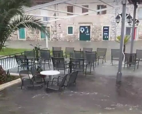
Photo by Sabrina Đaković (source: Slobodna Dalmacija)
