Traveler’s Map of Krka National Park
Vlatko Roland | Prehnit d.o.o., Croatia
Keywords: Krka national park, tourist map, GIS, digital terrain model
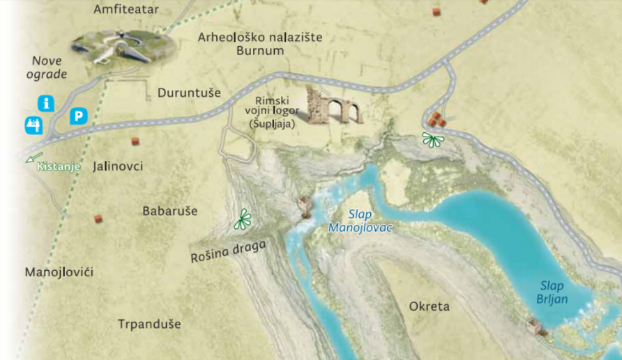
Krka National Park recently published Traveler’s map. Map dimensions are 100×70 cm, two-sided and printed on quality paper. Side A is a topographic map in scale 1:50000, on side B tourist information and three A3 size maps of areas of interest (Skradinski buk, Roški slap and Burnum-Puljane) are presented using digital model of terrain and attractively designed to conform to end map users (tourists) excpectations.
In this paper all aspects of map preparations are discussed, from data sources and their quality, through GIS data processing and cartography to final designer’s touch using graphic applications and considering printing issues.