The 34 presentations found in this publication showcase the diversity of mountain cartography—from the summit of Mount Everest to the bottom of the oceans—and with many places in between. Topics include automation, recreation, caves, volcanoes, islands, relief presentation, glaciers, mountain safety, education, and visualization. Given that cartography is a graphical field, illustrations are abundant throughout. Twelve presentations are reviewed papers and ten are extended abstracts. The remaining twelve, which were published as reviewed papers elsewhere in scientific journals, are included in this volume only as short abstracts. We strongly believe that the articles offered in these pages will spur readers to further conduct research and professional activities in the field of mountain cartography.

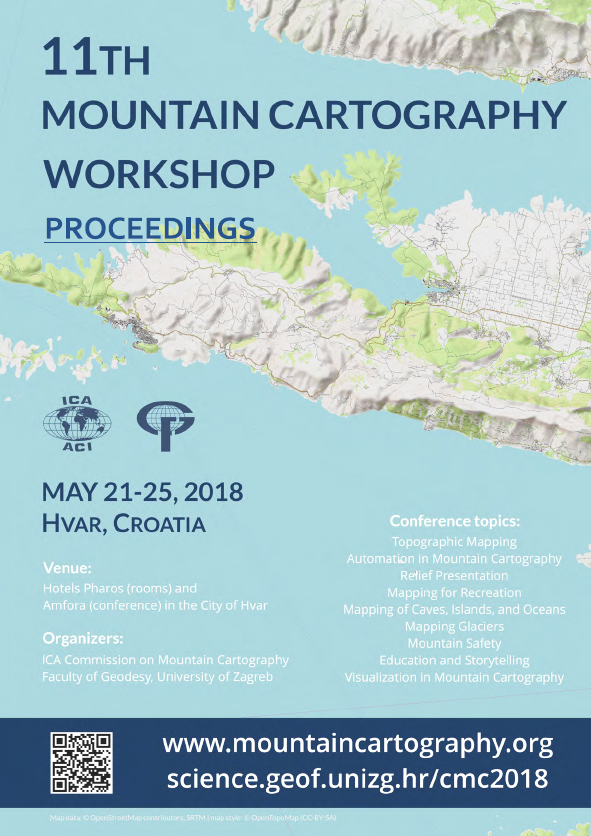
11th Mountain Cartography Workshop, May 21-25, 2018, Hvar, Croatia
ICA Commission on Mountain Cartography and Faculty of Geodesy, University of Zagreb
